Cowardin: PFO1A, PFO1C, PEM1A, PEM1C.
Location. This reference wetland is on a portion of the Deep Fork of the Canadian River system. It is located three and one-half miles west and two and one-half miles north of Okmulgee on the Okmulgee Wildlife Management Area. This reference wetland location is on state property. Latitude: 35deg. 39’ 28” Longitude: 96deg. 02’ 19”. Legal SE SE NW SE Sec. 28 T14N R12E.
Landform. Ecoregion: Central Oklahoma/Texas Plains (29). MLRA: Arkansas Valley and Ridges (118B).
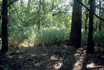
General Description. This reference wetland is representative of areas bordering the Deep Fork River and its main tributaries in the east central part of Oklahoma. These wetlands typically are on the backside of broad flood plains and on depression or concave surfaces. Sediment loading is limited to large flood events. This wetland landform is characterized by a series of oval to oblong depressions, separated by slightly higher (less than 0.5 feet) ridges of sandy soil materials. Surface water accumulation is from both out-of-bank flooding and runoff from adjacent uplands. Groundwater tables are near the surface during the winter and early spring.