The first and arguably most important feature of wetlands is the hydrology. The "unified definition" found in the Corps of Engineers 1987 delineation manual [PDF] specifically defines wetlands as areas "...inundated at a frequency and duration to support... " wetland vegetation. This can mean permanently flooded or only seasonally ponded.
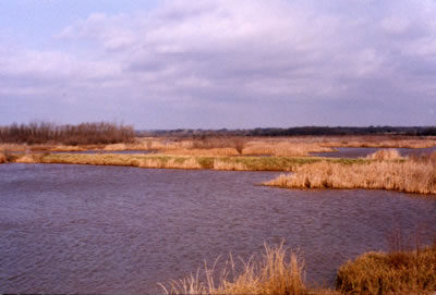
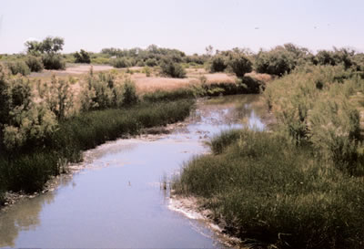
The investigator must be willing to look for signs of flooding in terms of changes in vegetation or soil types. You must also determine water sources to be able better able to reliably predict frequency and duration of ponding. What is the water regime of the area? Palustrine, lacustrine or riverine?
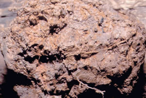
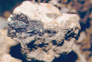
One way is to examine soils in the area and look for certain characteristics. Gleyed soils is always a good indicator but sometimes you'll see concretions or nodules.
In addition to determining the hydrology of the area, you must also determine if it is capable of supporting hydrophylic vegetation during the growing season. This is where a thorough knowledge of botany becomes critical.